The Eruption
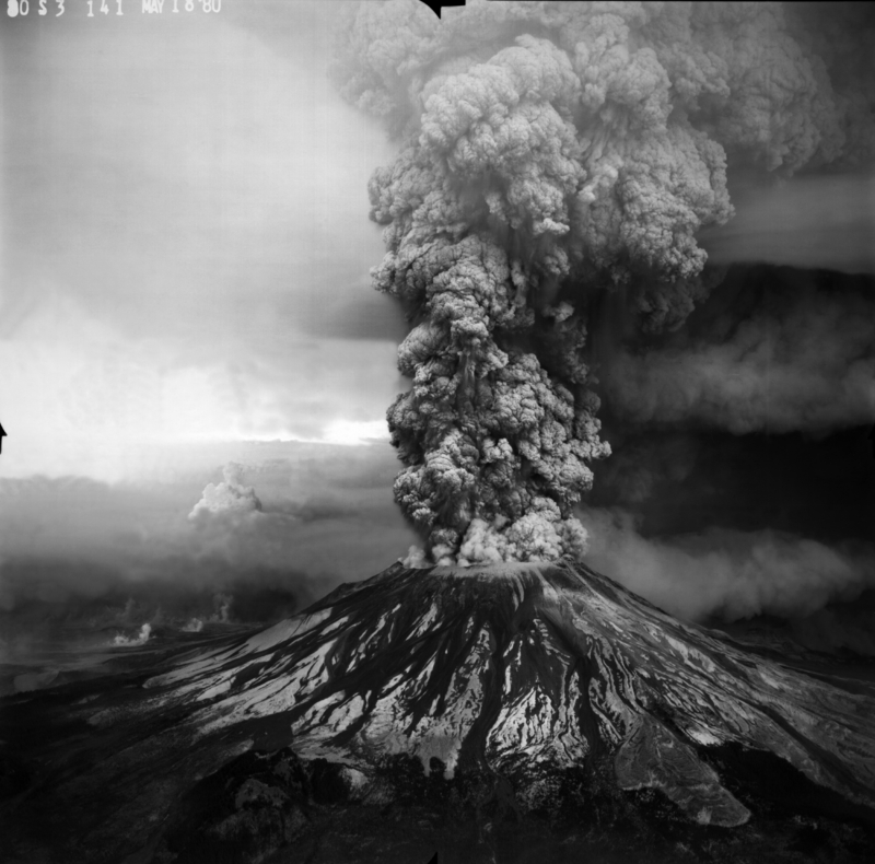
On May 18, 1980, after over two months of lava coming from the mountain, it unexpectedly exploded.

The eruption of Mount St. Helens
This is a photo of the eruption taken from a southwestern aerial view. It displays the mountain mid-eruption.
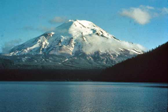
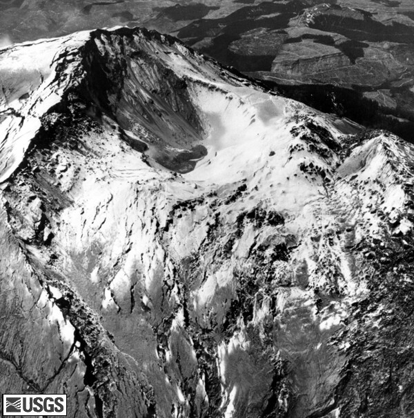
The eruption of Mount St. Helens was one of the most powerful natural disasters that hit the continental United States, even more powerful than 2005's Hurricane Katrina. The mountain exploded with the force of a hydrogen bomb. It ravaged the surrounding landscape wipping out massive chunks of the forest. Mount St. Helens itself, suffered major deformation. Much of the debris from this deformation covered large parts of Spirit Lake, and forever changed the landscape of the area. More importantly, this natural disaster killed 57 people. Most of these people were in zones thought to be safe from the eruption.


